GIS data for judicial districts in SA

The Department of Justice and Constitutional Development publishes KML files and PDF maps of the magisterial (magistrate’s court) districts on its website. Unfortunately there are some discrepancies between the KML file and the PDF maps, and between them and the point-to-point descriptions in the official notices published in the Government Gazette. I’ve constructed a dataset which attempts to resolve these discrepancies, as well as clean up gaps and overlaps in the polygons so that the edges match. This dataset is shared on GitHub at https://github.com/afrith/za-judicial-maps in case it is useful to anyone else.
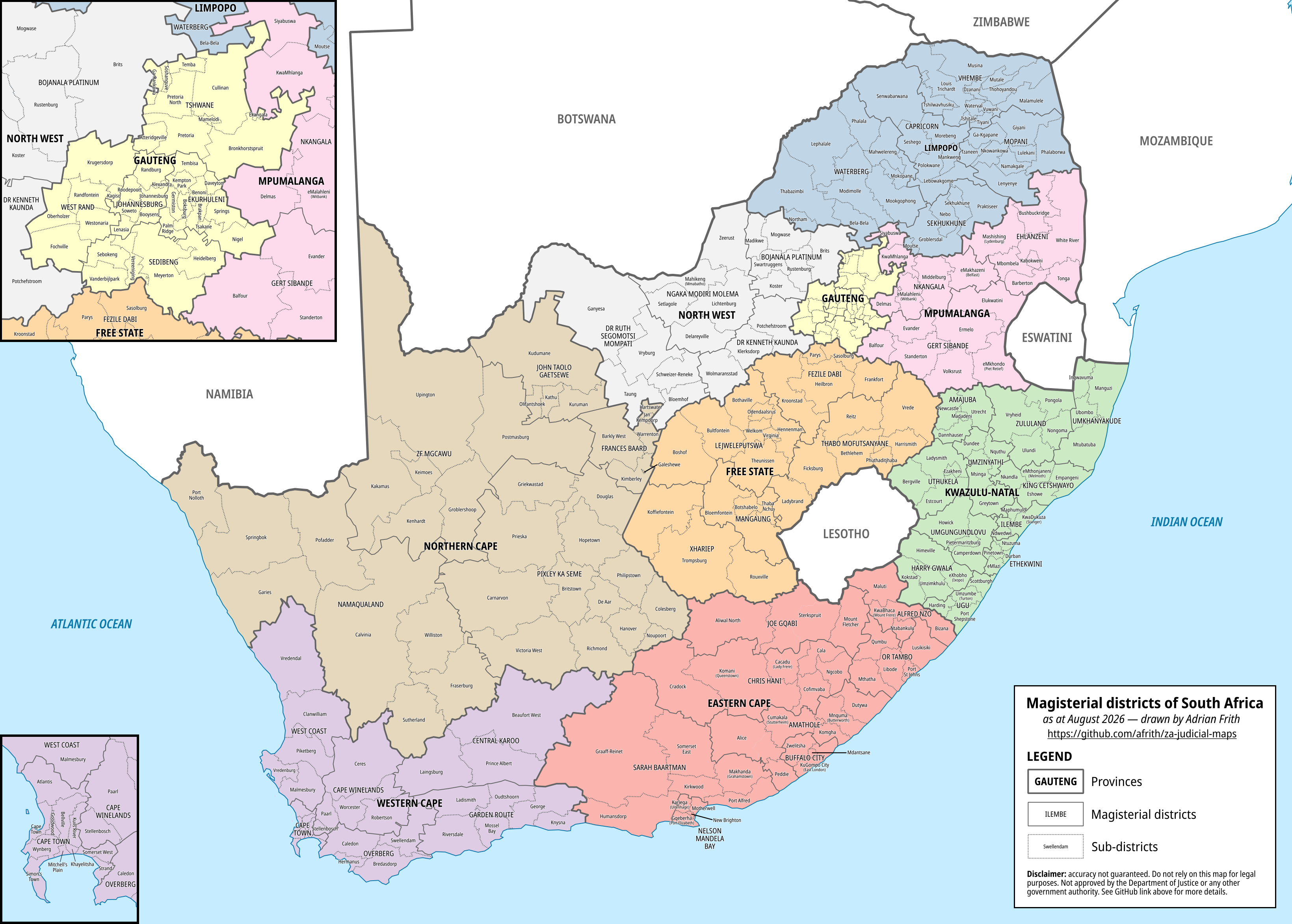
A map depicting the boundaries of magisterial districts in South Africa.
Map of magisterial districts
Read More

Census 2022 maps based on police district data

In August of this year Stats SA released data from Census 2022 at the level of police districts (precincts). With 1,167 police districts this is considerably more granular than the municipal-level data that was previously available. That being said, it is nothing like the ward-level data that was previously promised or the small area data available from Census 2011.

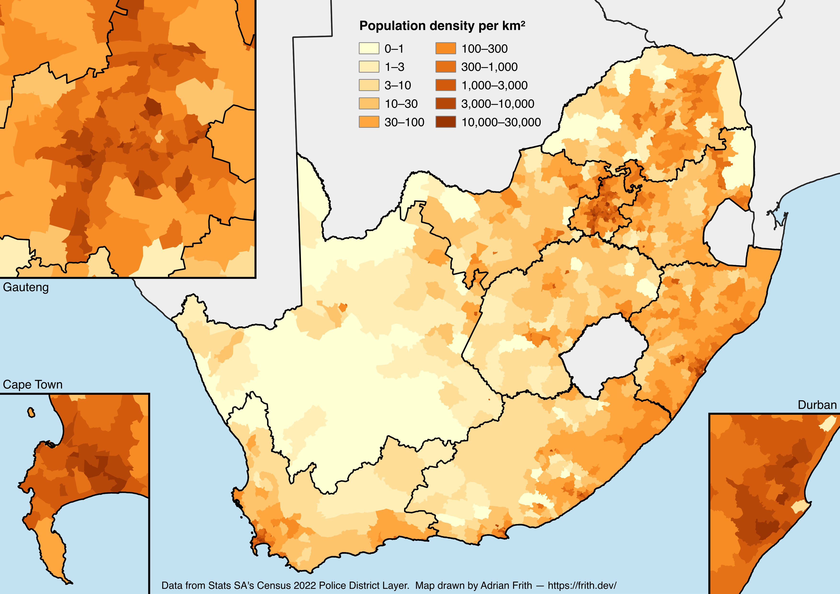
I’ve produced a collection of maps visualising some of the metrics from this police-district data layer, which you can see below. Click each one for the full-size image.

A map depicting population density in South Africa according to the 2022 Census.
Population density
Read More

Census API and website updates

Since 2013, a website I developed has provided information on places from the South African National Census of 2011. Recently I’ve developed a GraphQL API to make that data available to other developers. In parallel with this API development, I’ve also added some extra data, and made some changes to the website. Read on for more details.

Read More

A gallery of recent maps

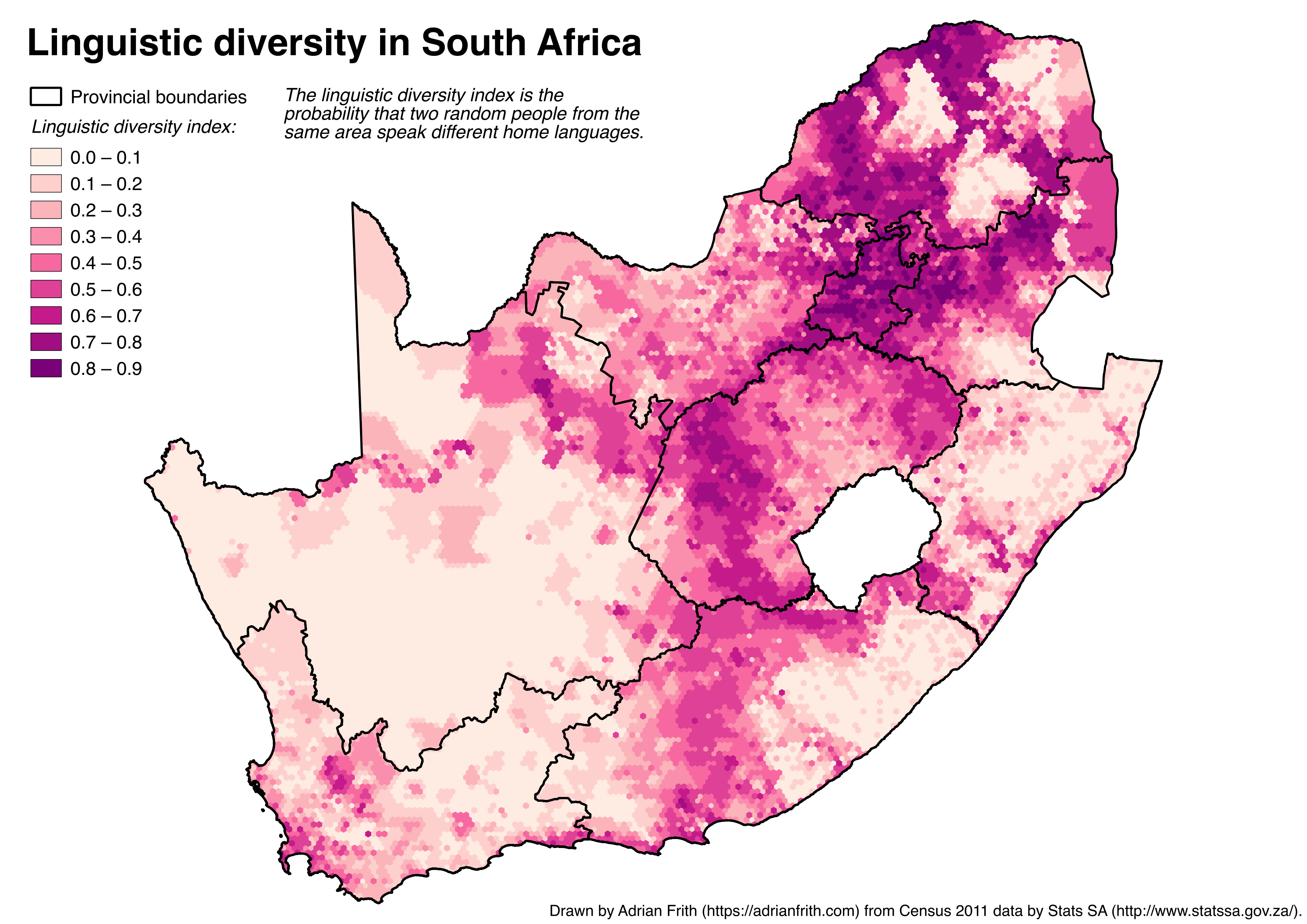
This post presents a selection of maps I have produced in the last few weeks. If you follow me on Twitter or on Reddit you will have seen most of these already. All the images below are clickable thumbnails which link to a full-size version.

Read More

New interactive map of SA election results

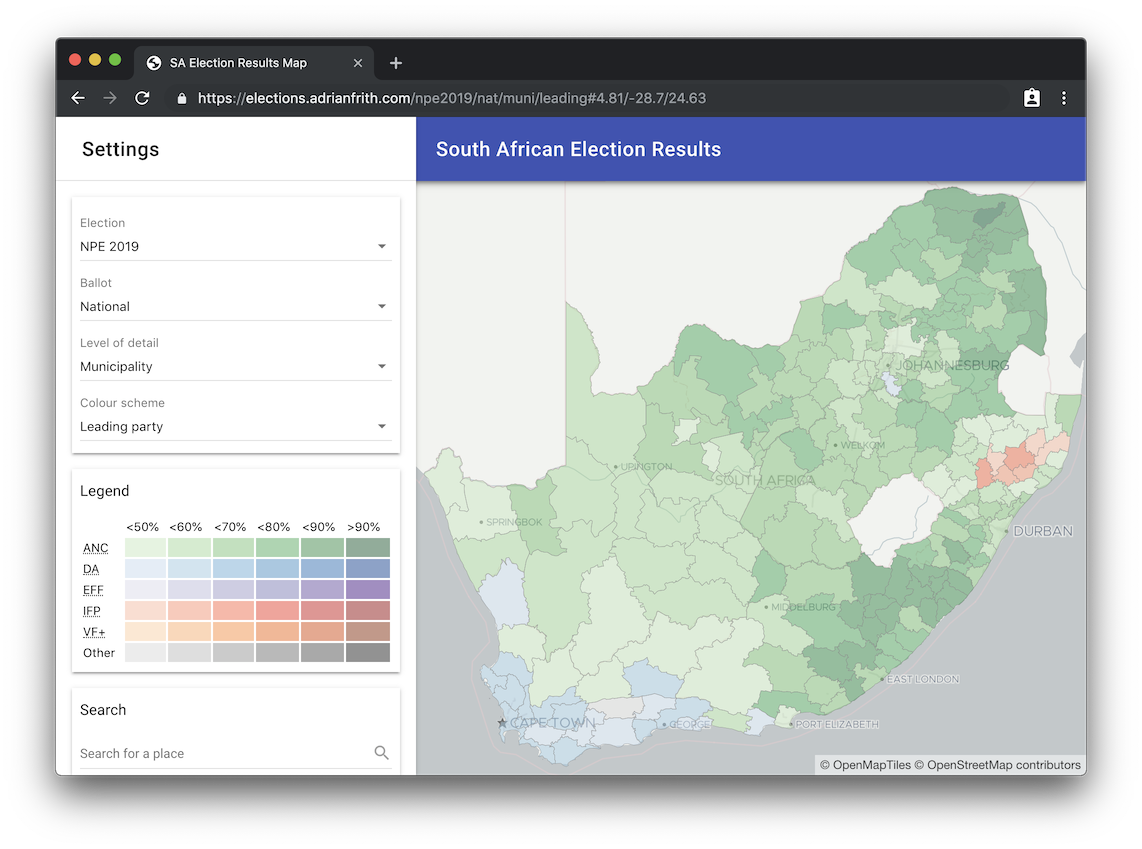
Five years ago, after the 2014 general election, I built an interactive map of the election results. Since then the state of the technology for web mapping has moved on, so I’ve developed a completely new version. This new map uses vector tiles for better rendering, includes results for four general elections (2004–2019), and allows you to drill all the way down to voting district level. And here it is.

A screenshot of a site titled 'South African Election Results' and showing the results of the 2019 election by ward.
Read More